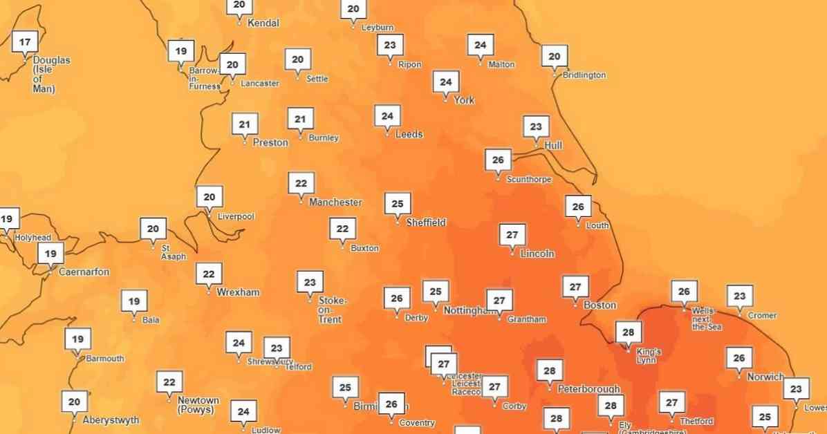
The Met Office predicts that next week, temperatures in the UK could soar up to 33 degrees Celsius, possibly leading to the return of a heatwave. This is due to Storm Debby in North America strengthening the jet stream, bringing a hot and humid air mass over the country. While the UK may not officially reach heatwave status, most regions will experience very warm or hot weather.
An official heatwave is defined as at least three consecutive days with temperatures exceeding a certain threshold. The upcoming week is expected to start with two days of very warm weather before cooling down and giving way to thunderstorms. Friday will start off wet and cloudy in the south and east of England, but sunny spells are expected to develop as the day progresses, with temperatures rising.
According to the Met Office, central and south-eastern England will see the highest temperatures on Sunday and Monday, with London possibly reaching 33C in some areas. Greater Manchester is expected to experience very warm or hot weather, with temperatures ranging from 27C to 30C and warm, humid nights. However, forecasts for the region suggest slightly cooler temperatures, peaking at around 26C.
The Met Office has also warned of the possibility of severe thunderstorms and heavy rainfall across parts of the UK over the weekend, with unseasonable winds in some western areas due to Storm Debby’s influence. Spokeswoman Nicky Maxey described the upcoming hot spell as short-lived but intense, with temperatures peaking on Monday before quickly returning to average levels by Tuesday and Wednesday.
In Greater Manchester, the weather forecast for the upcoming days includes a mix of cloudy, rainy, and sunny intervals, with peak temperatures ranging from 20C to 26C. Humidity levels could reach up to 85 percent, creating warm and muggy conditions. It’s important for residents to stay hydrated and take necessary precautions to stay cool during the hot spell.


